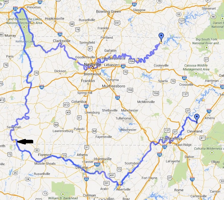
Most rivers flow north to south, so if your going down stream then you are heading southbound and upstream is northbound. This is important when communicating with the lock masters at dams. I have been calling ahead on the marine radio about 3-4 miles before arrival and letting them know that I am approching. Sometimes they can start preparing the lock for you, or if other boats are going through they may wait until you arrive. Today was unique for the fact that I was heading south from Kentucky towards Alabama and I had to request a northbound lockage. This is because the Tennessee River starts up around Knoxville, runs south into Alabama, then north to Kentucky. In Paducah KY it ends at the Ohio River.
Another thing I’ve had to get used to is that on the Cumberland River I was traveling downstream so all the green buoys would be on my starboard or right side and red buoys on my port side. Well now that I am on the Tennessee River I am traveling upstream so the buoys have changed sides. Not that big of a deal but it has caught me off guard more than once.
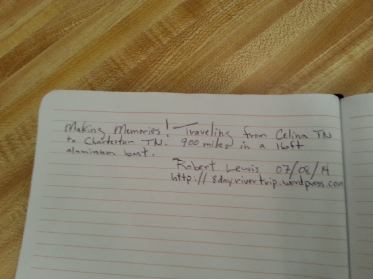
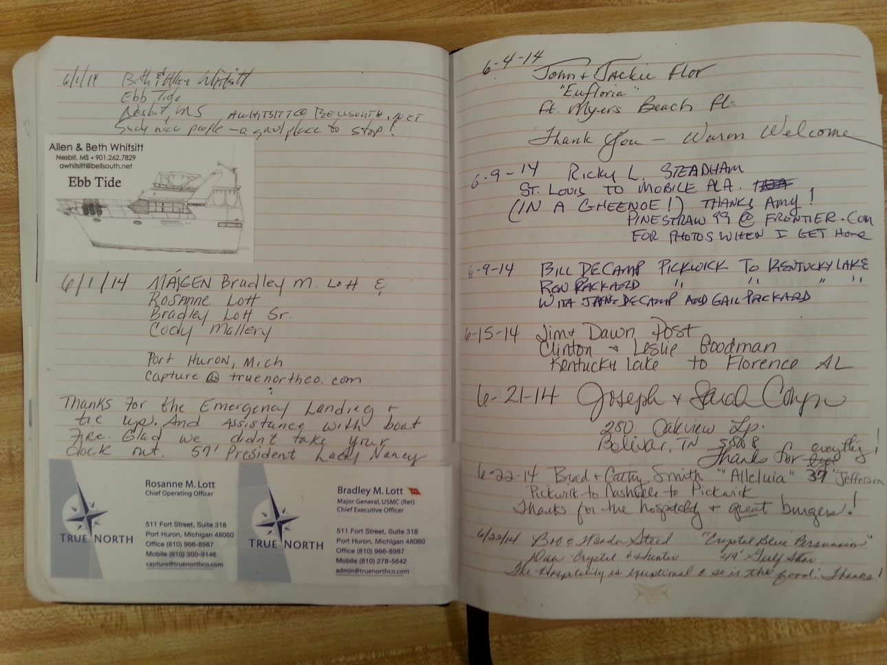
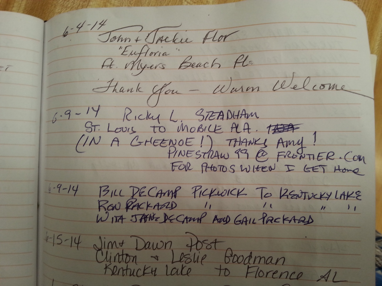
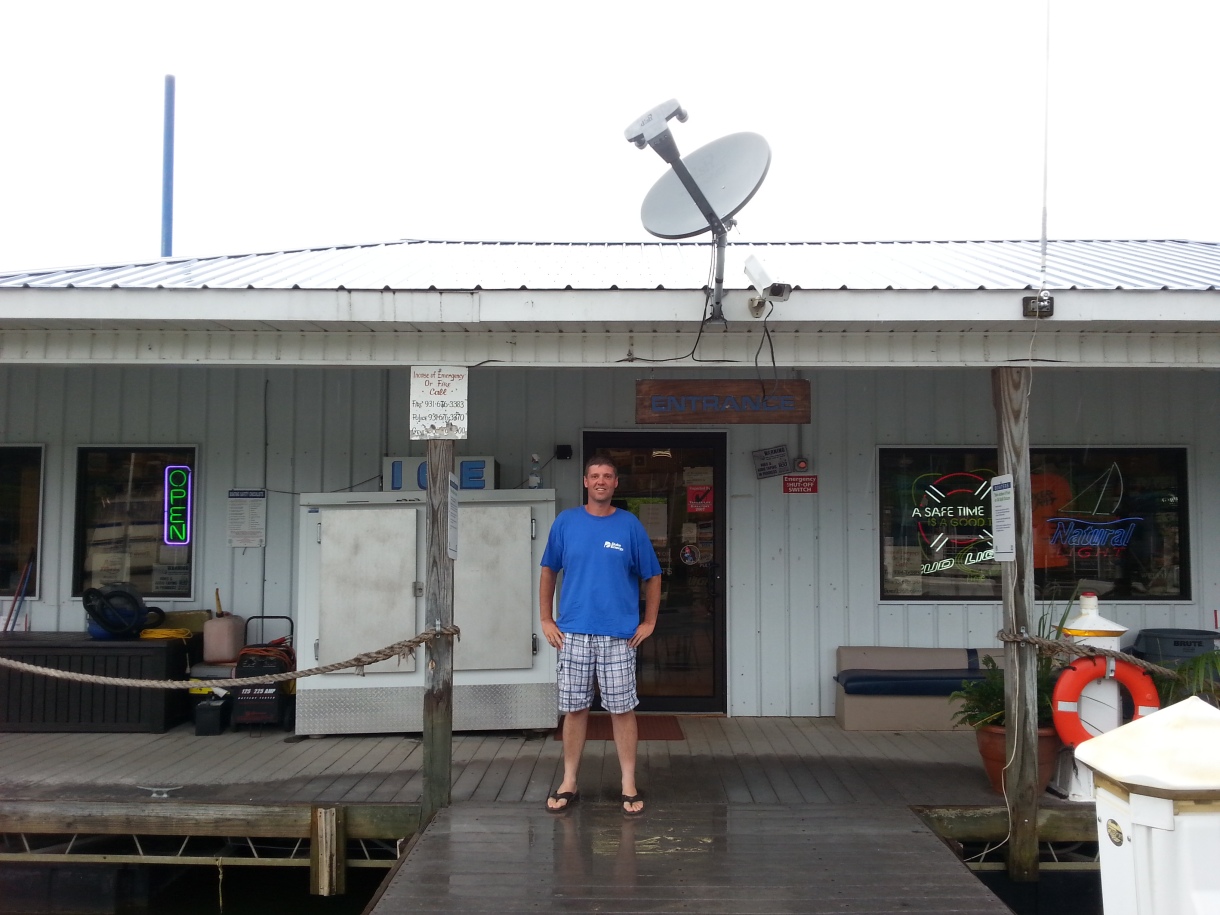
This morning I was taking my time sipping coffee and drifting down the river when I started noticing some clouds moving in. I quickly started heading down the river attempting to outrun the front. About 5 miles later it started raining. Clifton marina was just a few minutes away. I stopped in and was greeted by a friendly employee. We hung out watching the weather talking about river life and the such. She asked me to sign their guestbook. I enjoyed seeing other peoples comments. It amazes me how far people travel on these rivers.
After waiting an hour or two the rain cleared out and I was back on my way.
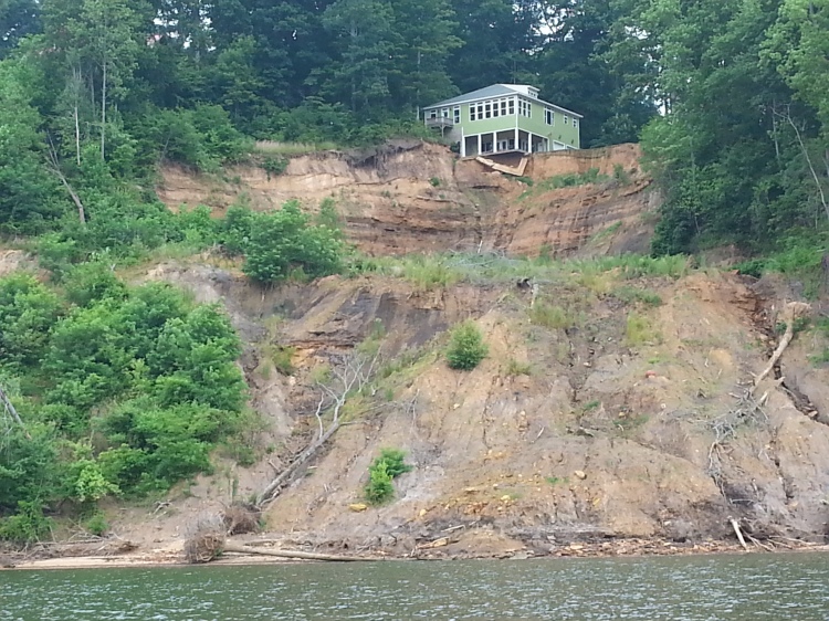
Honey I found us a house on the river cheap!
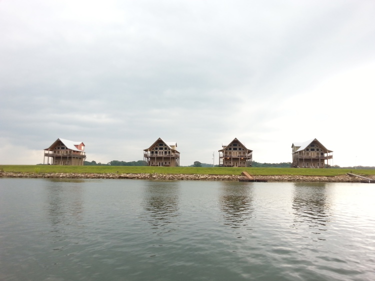
Speaking of houses on the river this part of the river has hundreds of these style houses, sometimes rows of them will go on for miles. They remind me of the beach. Apparently this section of the river deals with flooding.
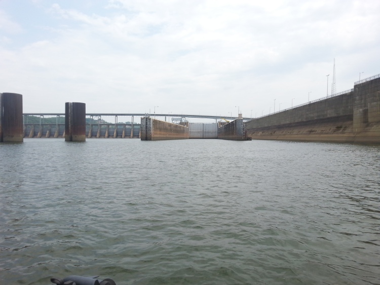
Today I have passed 6 or 8 loaded barges. About 6 miles before reaching the lock there were three in a row. This could mean hours, upon hours, of waiting. Needless to say I put the pedal to the metal. Yep I beat all three of them! I flew up to the lock in entrance and requested a northbound lockage. The lock master calmly replied you need to pull over to the auxiliary lock. None of the locks have been through so far have auxiliary or smaller locks adjacent to the main lock. All that rushing for nothing…
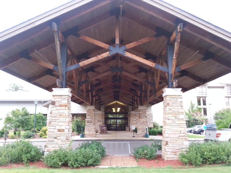
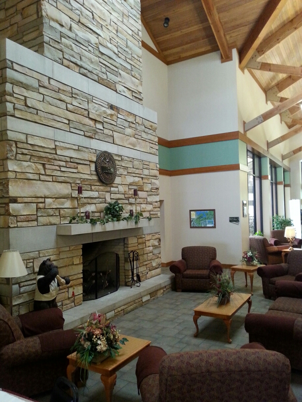
I was planning on camping tonight but with scattered thundershowers in the area I decided to get a room at Pickwick Landing State Park. This also gave me an opportunity to do some laundry get a good meal and just chill.
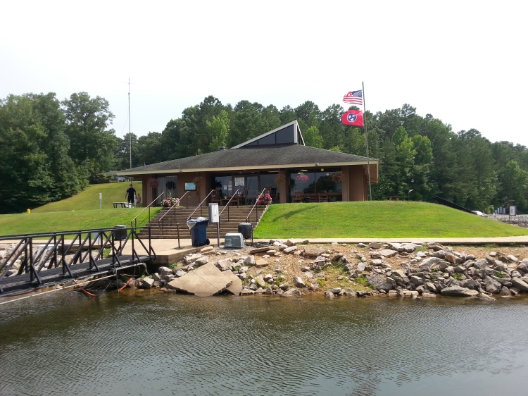
The Parks Marina.
Today I only traveled 55 miles. This has been the shortest leg of the trip so far. Its funny I always like to tell what town I am in and today I have absolutely no idea. Okay I just checked looks like I am south of Savannah TN near the Alabama state line.
Pickwick Reservoir
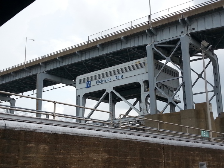
Pickwick Landing Dam is a significant producer of hydroelectric power. It provides a flat pool of water that extends eastward to Wilson Dam in Alabama and covers a portion of the treacherous Muscle Shoals, which once hampered navigation on the Tennessee River.
Pickwick Reservoir has excellent sport-fishing areas, including the Wilson Dam tailwater at the upper end of the reservoir, noted for record-size smallmouth bass and catfish.
Pickwick is also popular for boating and water skiing. A large campground is located below the dam and includes 92 sites with water and electric (5 are accessible sites) and 8 tent sites without utilities.
More great pics. Was great to talk to you today while you waited at the lock thanks for calling. Love the home you found now that is what you call living on the edge…LOL
This is just like a really good book, I so look forward to your post and pictures. Thanks for sharing.
Thanks Pam! I’m in suspense myself! Lol…